lifestyle
Atlanta's BeltLine Westside Trail Connects Dozens of Neighborhoods Uniquely
The expansive trail system following a former railroad corridor creates a distinctive urban loop that links dozens of neighborhoods with parks, art and businesses in a way few other global cities match.
How we reported this
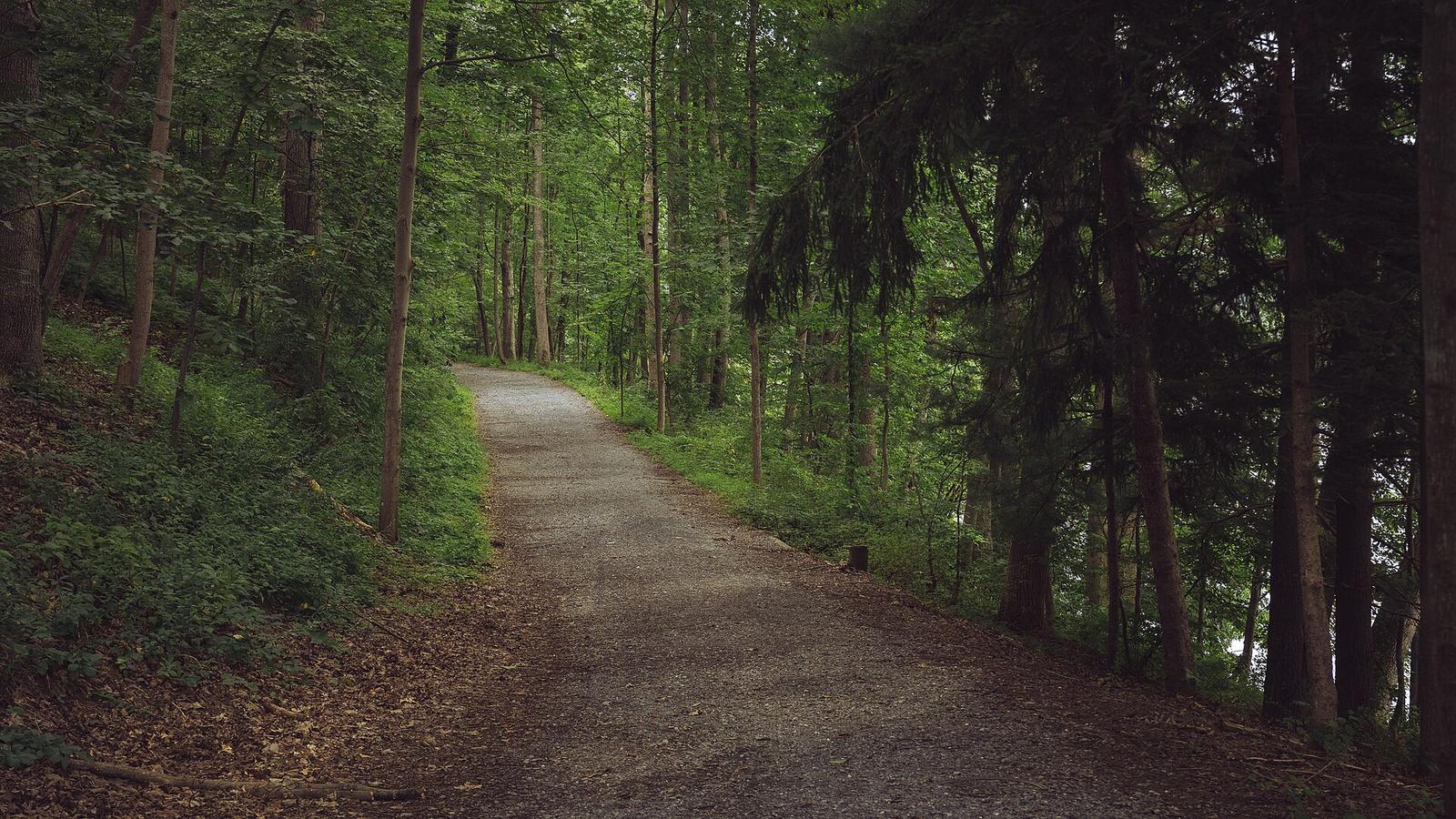
The Westside Trail opened in September 2017 as a 3.2-mile segment of the Atlanta BeltLine, a planned 22-mile loop of trails, parks and future transit. This opening gave residents and visitors immediate access to a continuous path that winds through the city's western neighborhoods.
Scale of the Loop Creates Unique Access
The full Atlanta BeltLine is designed to connect 45 neighborhoods around the city. It follows a former railroad corridor, turning disused rail lines into a continuous greenway that circles the urban core. More than 16 miles of urban trails are already available, offering a connected network that stands out among major cities for its reach and integration with everyday life.
Unlike linear waterfront paths or isolated downtown parks found elsewhere, the BeltLine forms a near-complete loop. This layout lets people travel between residential areas, commercial zones and green spaces without relying on streets or vehicles for the entire journey.
Connections to Daily Life Along the Path
The trail network connects neighborhoods, shops, parks and public art installations. Restaurants, breweries, art galleries and local businesses sit directly along the route, allowing users to combine exercise, errands and social stops in one outing. The Westside Trail itself runs through areas where these amenities cluster, giving the western section a lived-in character that blends recreation with routine city activity.
This integration of trails with existing urban fabric distinguishes Atlanta from cities that treat green space as separate from commercial or residential zones. The former rail corridor provides the backbone, keeping the path flat and direct while passing through established neighborhoods rather than carving new routes through undeveloped land.
Practical Steps for Exploring the Trail
Visitors can start at any accessible point along the more than 16 miles currently open and follow the path in either direction. The official BeltLine site at beltline.org provides maps and updates on trail sections, including the Westside Trail. Regular users often combine segments with nearby shops or parks to create routes of varying lengths without leaving the system.
The design encourages repeated visits because the loop structure supports both short loops and longer circuits as more sections open. Checking trail conditions and nearby businesses through the official resources helps plan outings that match individual schedules and interests.